Storm tower at 7:38 PM

Lots of strange stuff happening around 7:21 from just southeast of Belleville

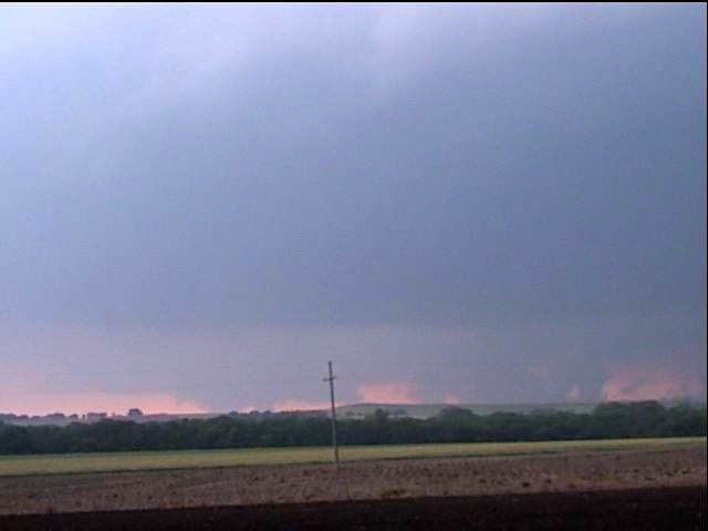
Rotation on far right touches down about 7:22. Survey shows F0


Mammatus take around 7:45 PM about 5 miles south of Munden, KS

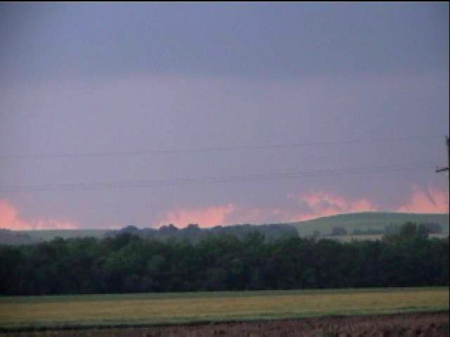
Small tornado or satellite
tornado or individual vortice if this entire circulation was a tornado.
Survey shows F0
damage

More of the small tornado

I was swinging the camcorder around like a maniac at this point trying to find this thing again--only well formed and visible for about five seconds

Striations around 7:38 PM. Republic County KS
The Weathervine crew and I observed two tornadoes between Concordia and Belleville, Kansas yesterday in the late afternoon. At one point, three massive block wall clouds hung from the updraft base, and we had high hopes for all three, but only one touched down, followed by a smaller and more narrow funnel.
We started the day in extreme southeast Nebraska, hoping to take advantage of high helicities from the forecast east winds per the 12Z RUC and ETA. We chased the first storm that fired in Thayer County (again!) and chased it nearly to Beatrice as it morphed and tried to organize. This storm earned a tornado warning and we observed a mid level funnel that was reported as a tornado later. However, this storm was involved in an HP cluster and the mesos were hidden and embedded in heavy rain. We knew about the Concordia supercell since we had good radar coverage, but wanted to stick with the target we'd worked hard to choose.
Finally, however, it was obvious this storm would not escape the precip shroud and we dropped south, approaching the Concordia supercell from the east. I observed both tornadoes from the village of Wayne, while Weathervine was closer to the storm having elected to continue west.
The circulation I
observed was fascinating because it was very large and seemed to drop
various kinds of wall clouds, funnels, and small tornadoes without ever
organizing on a larger scale or allowing the smaller developments to do
so. Watching my video in fast forward, it's almost as if this
entire meso were nearly on the ground itself, yet only some of the
smaller touchdowns created debris clouds that I or the Weathervine guys
could observe. This was taking place west and northwest of Belleville,
Kansas between 7:19 and 7:24 PM as we observed from very close to Wayne,
looking west-northwest.
Some images from Chris Collura are here:
http://www.sky-chaser.com/mwcl2004.htm
Link to NWS Topeka Summary page:
http://www.crh.noaa.gov/top/May29/May29.htm