Apparently this supercell dropped a brief tornado at the intersection of 281 and Interstate 20. Chasers in our group reached the intersection at that same time and didn't see what must have been a quick drop. One in our group felt that he was nearly directly beneath the circulation, albeit accidentally, of course. What we saw at that time was a long, twisting horiztontal tail cloud. But I’m glad to hear this storm spun something up— it certainly worked hard enough for it.
I suppose that technically we "saw" this too, since we watched the wallcloud / lowering during the time of the touchdown, but trees blocked our view of the ground as we had just left this intersection moments before, heading southbound on 281. When we reached the intersection, I suggested we could stay and have a "Jeff P. moment" but agreed with the consensus that we should give it a little space. Like I said, others arrived moments later and never saw the touchdown.
Far more importantly, this dynamic, cyclic supercell produced a variety of beautiful bandings, bell shaped updrafts and gleaming, rock hard towers. Underneath, all shapes and sizes of wall clouds, funnels, long and solid tail clouds—an absolute feast of strongly rotating convective phenomena. Though we never saw the big tornado we thought would fall at any moment, this deviant-mover was worth every inch of my 900 mile drive to the target. Anything tomorrow is icing on the cake.
At one point, the storm weakened, another cell to the southwest merged with the original storm and together regained strength. I know this phenomenon of updraft combination and strengthening is poorly understood, but we heard Al Moller predict the event about thirty minutes before it happened today. They merged north of Santo, about twenty minutes before the sighting near 20 and 281. All of us watched this entire cycle, one of dozens of intensifications, wrap ups, and occlusions.
As I told the others, this was only a notch beneath the May 29th storm of 2001--just a fantastic and long-lived cyclic supercell that was, at various times, an LP, classic, HP, right-turner, and merging storm. I shot 40 minutes of video and snapped thirty of forty exposures with the SLR.
We noticed increased dewpoints near the storm, in the near storm environment, and I’m convinced that between the higher dewpoints and dryline / stormscale localized moisture pooling, sufficient moisture maintained these storms. Those in Oklahoma found favorable SRH fields from vanguard precipitation remains and tornadoed. In the morning, as we passed thorugh Southwestern OK on our way to our target of Jacksboro, we noticed the early showers and speculated on the effect this would have-- cooling temps, raising dewpoints, lowering LCL's (we guessed) and leaving boundaries, but the mid-50 dewpoints discouraged us enough to cross the Red River into the Lone Star State.
One oddity of our storm was a tendency to blow itself out and occlude quickly after new mesoscylonic development. It seemed as if the beautiful wallclouds and quickly organizing funnels had only brief windows of opportunity before RFD would wrap (once with a bright, brilliant clear slot—a moment I thought for sure would tornado and we were CLOSE) and shut down the meso. Then within fifteen minutes the storm would wrap again. We blamed this on insufficient CAPE and updraft vigor.
Wow. What a fun chase. Thanks again to Steve, Eric, and Jeff Gammons for nowcasting.
Amos Magliocco

2:45 PM Southwest of Jacksboro
Texas

2:47 PM
3:52 PM South of Graford, Texas

3:55 PM

Still near Graford


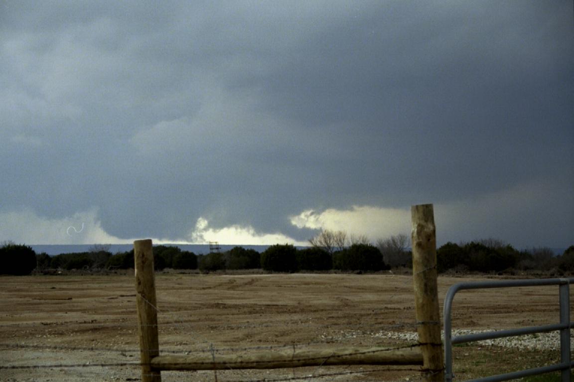
5:39 PM from overpass over I-20
just southeast of Santo, Texas,
moments before reported tornado

6:17 PM

6:18PM

6:18 PM